TELEDYNE OPTECH
Software Workflow
Software Solutions for Airborne, Mobile & Terrestrial Surveys
Optech is committed to continually improving the user experience. We have invested significantly in software development to enhance the capabilities of existing sensors while increasing ease of use, guaranteeing data accuracy, and bringing new levels of efficiency and cost savings. All sensor systems are packaged with standard and optional software offerings, allowing our customers to tailor what they acquire to their needs.
Optech develops software that provides the following solutions:
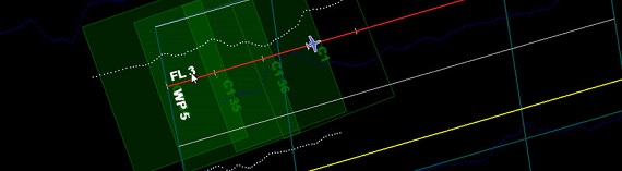
• Airborne and mobile survey planning
• Airborne navigation and control
• Real-time 3D data visualization and quality control
• Automated pre-processing and consistent accuracy
• Complete bathymetric workflow from planning to data deliverables
Optech’s industry-leading ALTM and Lynx LMS Pro lidar processing software offers one-button automated processing to fully rectified and aligned LAS (XYZi) data from multiple lines/drive-bys (data strips) collected under different GPS and even at different times (days, months or years). Other suppliers require time-consuming strip-to-strip analysis and matching software with manual input – and therefore operator-subjective results. Optech LMS Pro is fast with multi-core processing, and has the ability to input and rectify to ground-control. Consistent workflow allows training to be shared across all models and for both airborne ALTM and mobile Lynx product lines.

Optech FMS is an integrated workflow tool that handles flight planning, multiple sensor system control and monitoring, and navigation in one convenient package.

Optech PixelPhysics is an image pre-processor that automatically prepares raw camera data from Optech’s CS-series of cameras for input into third-party software for next steps.