GIS and Mapping
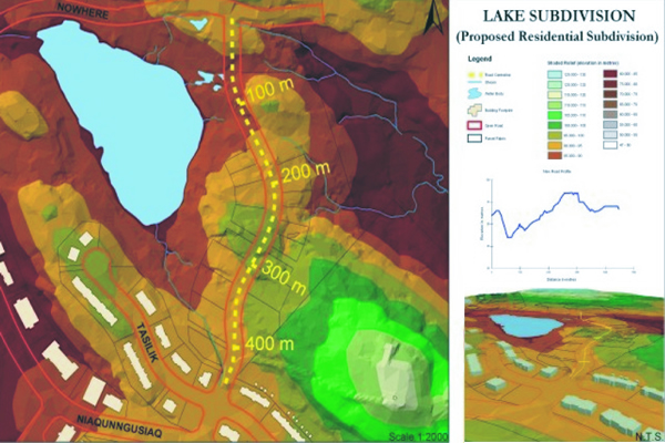
Geographic Information Systems have become mainstream tools to collect, store, retrieve, manipulate, analyze and display spatial data. A properly maintained GIS provides ready access to a wide array of geographic information in an easy-to-understand map format and assists management teams in the visualization and understanding of complex issues so that well-informed decisions can be reached.
Source: http://www.jlrichards.ca/services.php?gis-and-mapping
The successful candidate will be responsible for the preparation of contract drawings using AutoCAD and Civil 3D for municipal and land development projects, as well as commercial and industrial site developments.
To support our recent and ongoing growth, JLR’s team is looking to add Architectural Technologists with 10-15 + years of related experience to augment and round out our team.
We’re looking for talented and creative people to support both business development and delivery activities, and proven or emerging leaders to develop and manage our clients and projects.