Eagle Mapping
Mine Development
Mining engineers require the highest precision topographical and orthophoto maps. In most cases, 1:1000 scale with 1 meter contour maps are used for the design of the mine, tailings pond, access road, power line and infrastructure.
The highest possible map accuracy enables the engineers to design from a very accurate and detailed base map. This can save thousands of dollars during the construction phase of the mine. These base maps usually have other pertinent data added to them from other sources, which allows for a centralization of information that is georeferenced for site accuracy.
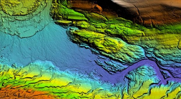
LiDAR data contains accuracies that allow for detailed flood modeling of the tailings pond and water reclamation ponds.
Most mines update their base topographical and orthophoto map on an annual basis to have a current record of the ongoing development of the mine. This provides a pictorial and data time line record from mineral discovery through development to final shut down and land reclamation.
LiDAR Applications
Because LiDAR data provides extremely accurate georeferenced information it can be used to exactly determine:
• Mine Pit design
• Tailings pond location and design
• The best and most cost effective road and power line access route
• To determine the best location for mine waste piles
PHOTO applications
Accurate orthophoto maps can be used to determine a variety of factors that require pictorial references.
They include:
• Environmental engineering studies
• To show the location of the mine infrastructure
• To determine what area the mine development needs to avoid such as water features.
Source: http://www.eaglemapping.com/industry/mining/mine-development