UKKO Canada
DRONE CONNECTOR
We connect people & drones
What our operators can offer...
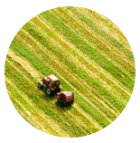 |
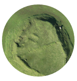
Agriculture
Crop reflectance maps with vegetation index values, real-time plant health reports, actionable treatment advice – supplied quickly, efficiently & typically at lower cost than using manned aircraft.
|
 |
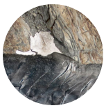
Mining
Stockpile evaluation & volume calculation, works monitoring, distance & cross-section measurement, and much more.
|
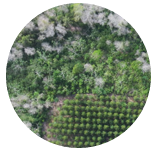 |
Forestry
Species analysis, growth monitoring, disease mapping, border clarification, post-fire assessment & replant planning etc.
|
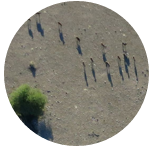 |
Conservation
Animal counting, species detection, anti-poaching management, habitat mapping & more.
|
 |
Environmental management
Landfill volume calculation, coastal erosion assessment, vegetation analysis, glacier dynamics & ice jam mapping etc.
|
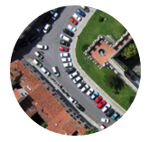 |
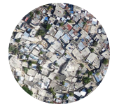
Urban/regional planning
Feasibility studies, infrastructure planning & redevelopment, landscape mapping & design etc.
|
 |
GIS
Asset management, spatial analysis, accident mapping & much more.
|
 |
Humanitarian
Post-disaster assessment, reconstruction planning, prevention planning, capacity building etc.
|
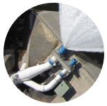 |
Infrastructure management
Pipe & wind turbine surveys, plant inspection & documentation, solar field thermography and more.
|
Source: https://www.droneconnector.com/home.html