Pelangio Exploration Inc.
Grenfell
Property Details
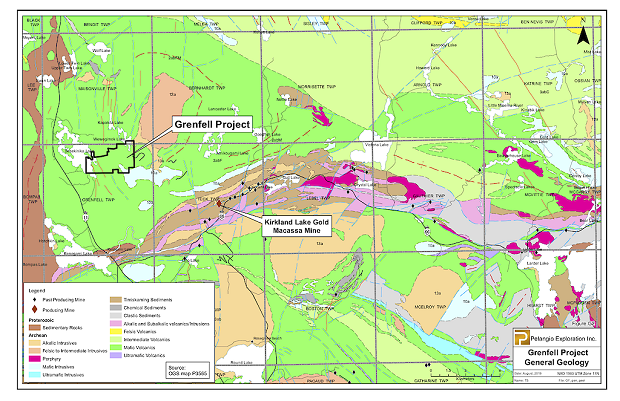
The Grenfell property is located in Grenfell Township approximately 10 km northwest of the Town of Kirkland Lake Ontario. It is comprised of a series of contiguous mining leases and mining claims covering about 6.7 km2. This property has been worked sporadically on and off since the early 1930's. The majority of work on the property took place in the 1930's to early 1940's when bulk sampling of some high-grade gold veins occurred in conjunction with diamond drilling, shaft sinking and substantial lateral development on two underground levels. With renewed interest in the property a series of surface exploration programs were conducted from the early 1980's to about 2013. More recent exploration work and re-evaluation of historical work has resulted in new zones of gold mineralization and recommendations for further exploration on known historical zones from the 1930-1940 era.
Gold mineralization was first discovered on the property in the early 1920's. From the early 1930's to about 1941, a series of major exploration campaigns were conducted; this work included 265 feet of shaft sinking, over 2000 feet of underground development on two levels, and a bulk sampling program to evaluate two of the vein systems. Exploration efforts ceased on the property during World War II. In 1985, a geological report was completed on the property by John Londry, P.Eng. (J. Londry, P.Eng., “Report on the John Sirola Property, Grenfell Township, 1985”), which documented the following points of interest on the various veins:
- The property hosts five distinct gold bearing zones. These zones in order of importance are the No.1 Vein, Sirola Vein, No. 6 Vein, Shea Vein and Shaft Vein.
- Significant work was conducted on the No.1 Vein and Sirola Vein. The Sirola Vein is interpreted to be a possible splay vein from the No.1 Vein. Two separate bulk samples from the Sirola Vein (surface pit) and No.1 Vein (60-foot level) returned 21.7 tons at 0.456 oz/ton gold and 177 tons at 0.70 oz/ton gold respectively. (see Sirola Vein surface sample picture Figure 1)
- The No.1 Vein was channel sampled along the drift on the 250-foot level which assayed 0.2 oz/ton gold across a 3-foot width for 180 feet of strike. The Londry report also stated that this drift should have continued in an easterly direction on the 250-foot level as values and vein structure suggested the vein continued.
- Londry's report states a third gold bearing zone, the No.6 Vein has a northwesterly trending strike orientation or a transverse strike relative to the No.1 Vein (southwest strike). The No.6 vein was drill tested with only three drill holes, these holes which returned 0.13 oz/ton gold over 10 feet, 2.22 oz/ton gold over 3 feet. and 0.25 oz/ton gold over 5 feet.
- The Shea Vein also reported to be northwesterly striking structure is located approximately 700 feet southwest (“SW”) of the shaft collar. The 250-level drift was extended westward for 700 feet to evaluate the Shea Vein mineralization. Very limited data exists on this work but Londry's report states a single historical drill hole on the Shea Vein returned 0.41 oz/ton gold over 3 feet.
- The Shaft Vein was intersected during the course of shaft sinking; the vein entered the shaft at the 90-foot level and exited the shaft at the 150-level. When diluted to a width of one foot, the Shaft Vein returned 0.24 oz/ton gold over the 60-foot interval it remained in the shaft.
Source: https://www.pelangio.com/projects/canada/grenfell/

|