Eagle Mapping
Industries
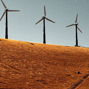
Energy


Precision maps created using digital aerial photography and/or LiDAR technology supply important reference information
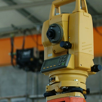
Engineering

Precision maps, created using digital aerial photography and/or LiDAR technology supply essential information for Engineers
FIND OUT MORE
First Nations

Accurate mapping of First Nations land can be the first step to realizing financial growth and/or control over their environment
Forestry

Digital aerial photography and/or LiDAR surveys provide precision mapping for the forestry industry
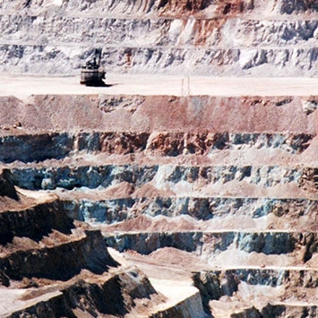
Mining

Accurate aerial topographical and orthophoto maps are a basic necessity for exploration geologists and mining and environmental engineers