Advanteck UAV/Drone Services
Unmanned Aerial System (UAS)
Unmanned Aerial System (UAS)
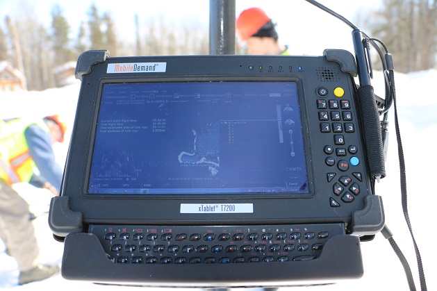
We offer full-service solutions including operations planning, field surveying. data analysis and product delivery. We use 2D and 3D modelling software with our Unmanned Aircraft System (UAS) to provide professional survey service results up to an accuracy of 3 cm horizontally and vertically. We are AutoCAD friendly and have experience working with standard engineering drawings and data. We produce professional and accurate ortho and geo-rectified imagery and mapping products. We have expertise with LiDar analysis and implementation.
We have experience working in remote locations in Northern Ontario, as far as Moosonee and working under industrial Health and Safety Plans. Advanteck understands that work place safety is critical in the forestry and mining industries. Our services are compliant with government regulations. We maintain in-house, documented Safety, Health and Environment Plans, and UAV Standard Operating Protocols.
Advanteck Inc. has experience working with First Nation businesses in Northern Ontario and have planned, bid and successfully completed major projects in the North. We hold a Joint Venture Partnership with an Attawapiskat firm.
Source: http://advanteck.ca/uas-system/
Magazine
No information