Timbercraft Consultation Inc.
GPS Surveying and Mapping
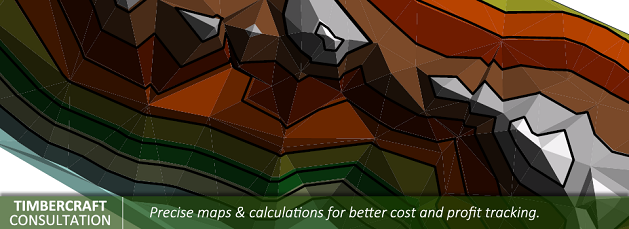
• Stockpile inventory volume calculations (3D mapping)
• Bathymetric surveys (contour mapping)
• Topography contour surveying (mapping)
• Precision GPS work (centimeter and sub meter surveys custom to each clients needs)
• Work with municipalities collecting municipal data and providing GIS services (data base)
• Custom mapping services
• Ortho rectify photos (map creation)
• Plotter services
• Bridge and culvert inventory
• Mapping of properties to calculate resale value of materials
• Calculate life expectancies of landfills, stockpiles etc.
• Contour mapping for subdivisions on challenging terrain
• Closely estimating costs of blasting and crushing services
We have mapped a Provincial Park including: sub-meter GPS data collection of features throughout the park (buildings, power lines, roads, lot sizes, water and dumping stations). Timbercraft produced an ortho rectify photo map of the park with sub-meter accuracy.
Source: http://timbercraftconsultation.com/gps-surveying-and-mapping/
Magazine
No information