Timbercraft Consultation Inc.
Environmental Services
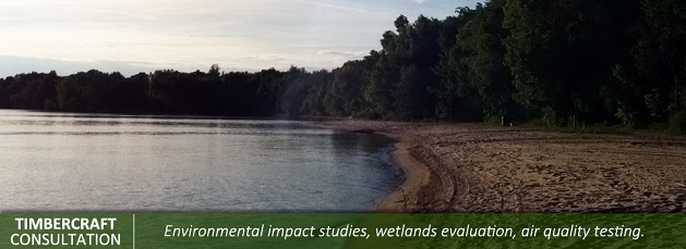
• Environmental Level 1 & 2 studies
• Environmental impact studies
• Wetlands evaluation
• Air quality testing
Timbercraft has mapped farms for Ontario Clean Water Association including: sub-meter GPS data collection for features such as ditches, fence lines, roads, houses, barns and bush lines. We calculated hectares for each field in order to keep accurate records of where biomass has been spread on fields during dry season and to ensure proper spread rates/ hectare in the approved field. We provided precision ortho rectified photo maps with contours, distributed to the Town of Kapuskasing and the Ministry of the Environment.
We acted as compliance specialist for the Gordon Cousins Forest, monitoring all harvest operations including all contractors (up to 9 harvest operations at one time and approximately 600,000 cubic meters of conifer annually).Timbercraft used sub-meter GPS technology to ensure all harvest operations were as per the AWS prescriptions and verifying 30, 50 & 100 meter absolute reserve boundary lines and snag tree retention. The data collected from the GPS included field notes such as camp location, season of harvest, merchantable species not utilized, top diameter and length of survey. The GPS surveys were kept in a database and used to monitor possible trends or infractions, for each individual camp or contractor harvesting on the forest.
Source: http://timbercraftconsultation.com/environmental-services/
Magazine
No information